
Michael Mabaquiao
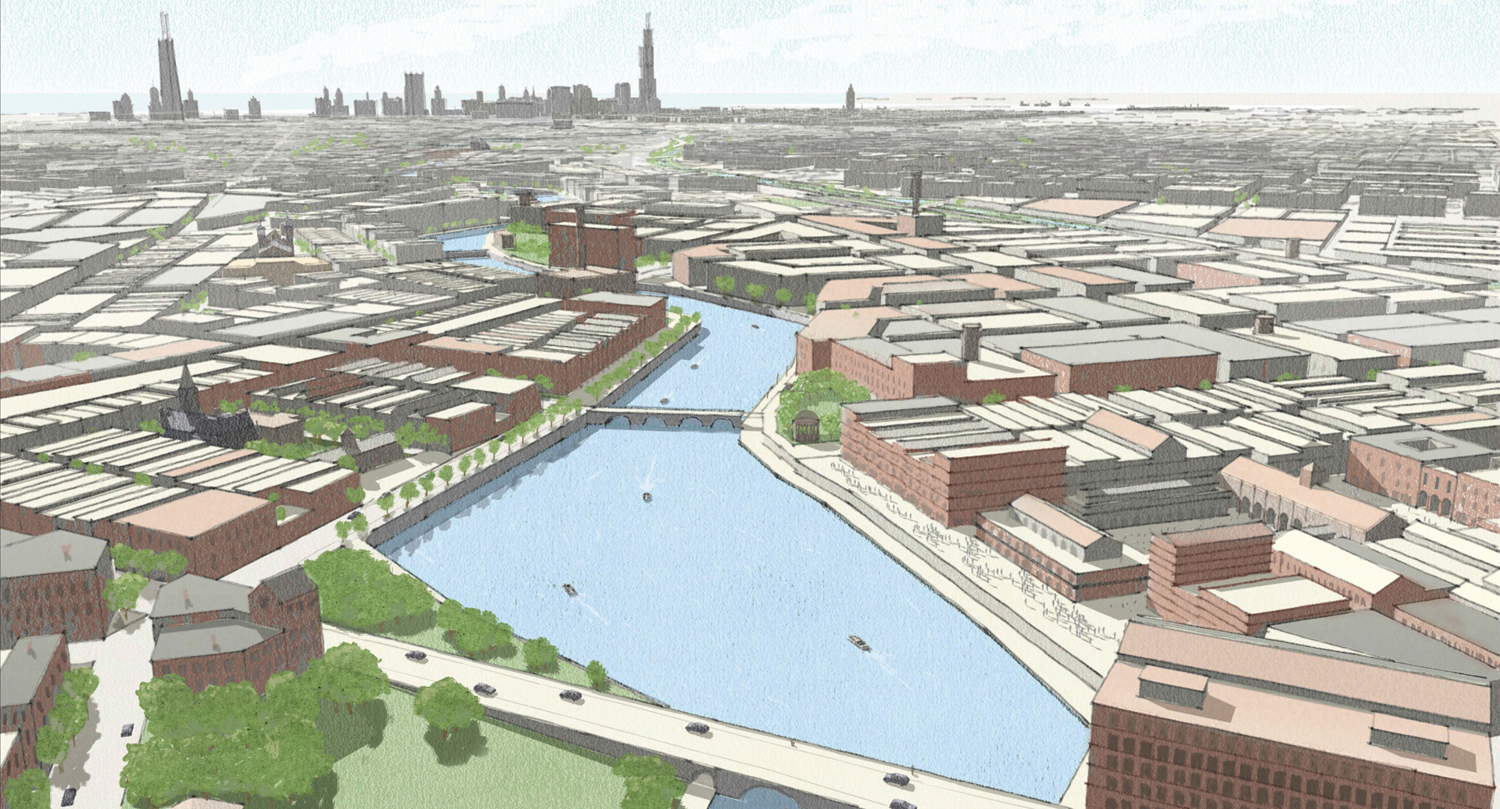
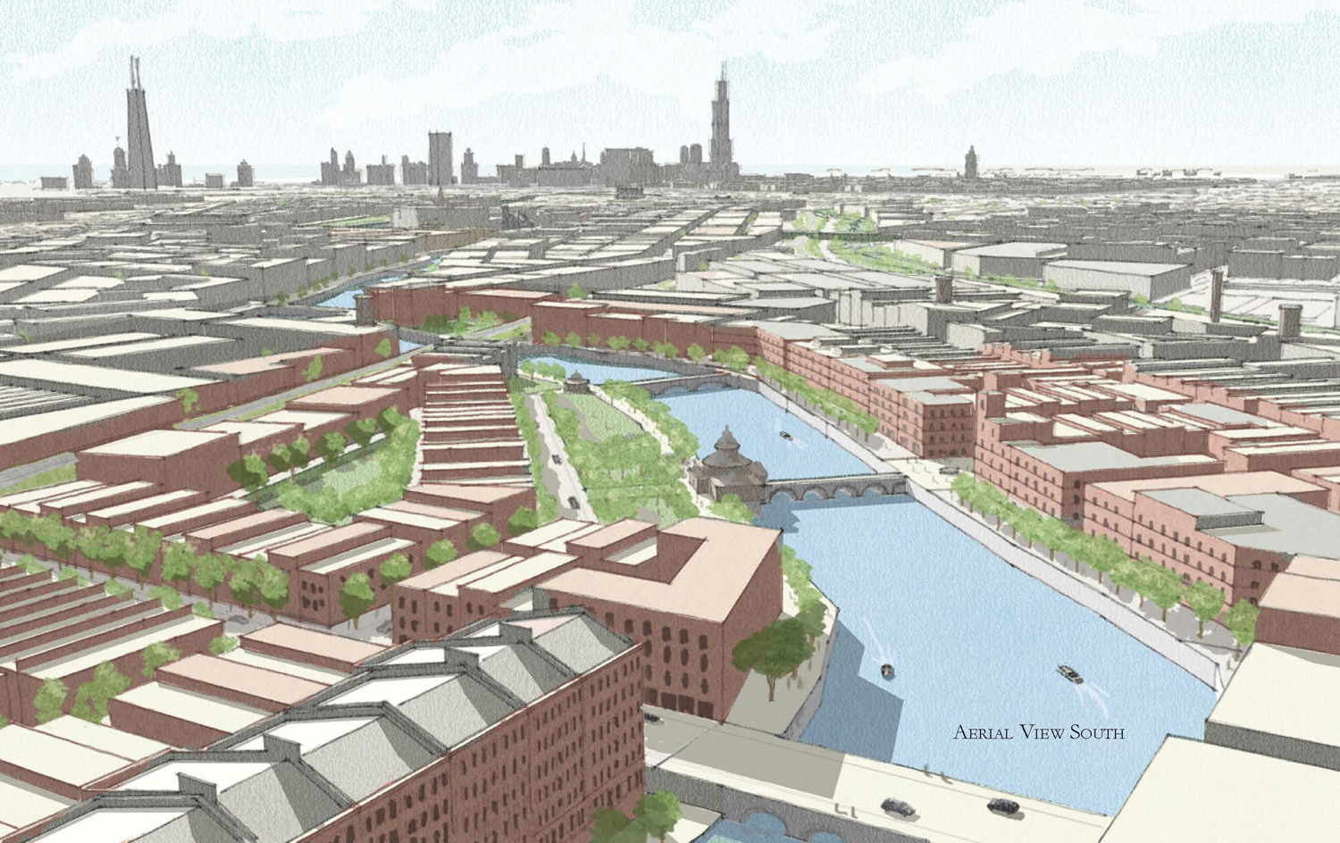
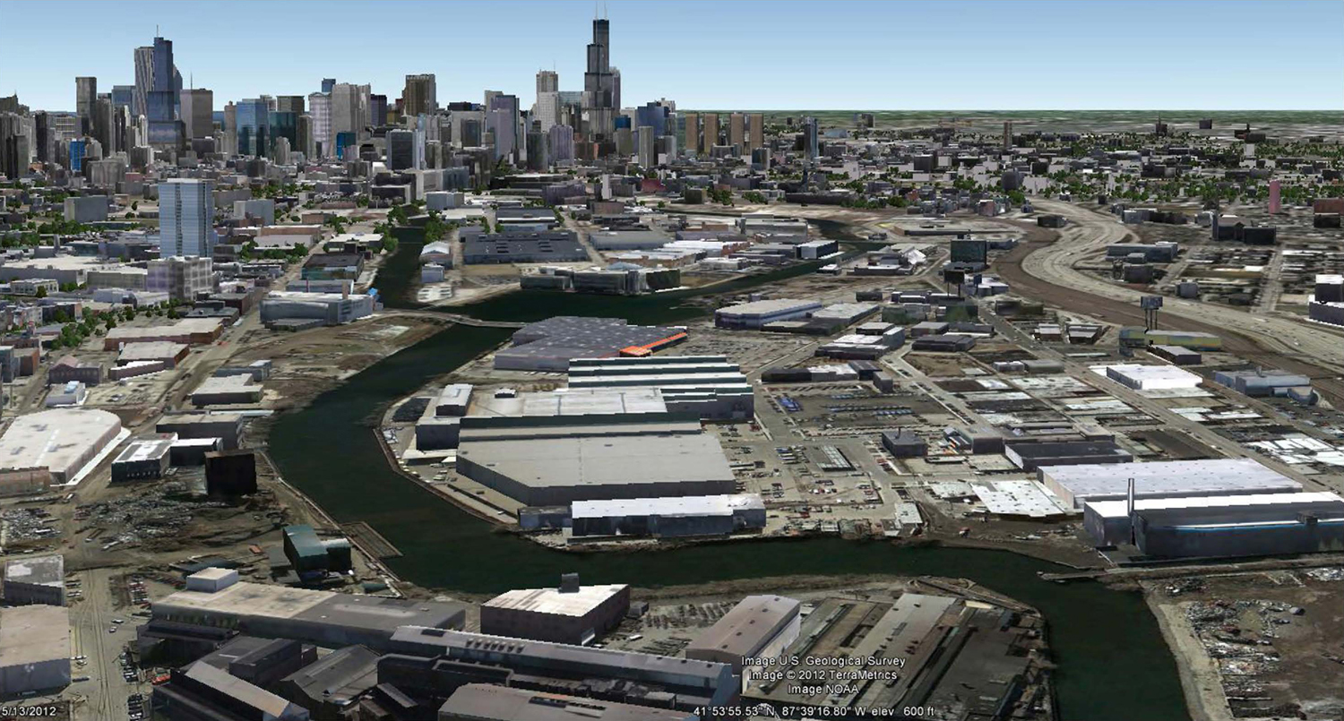
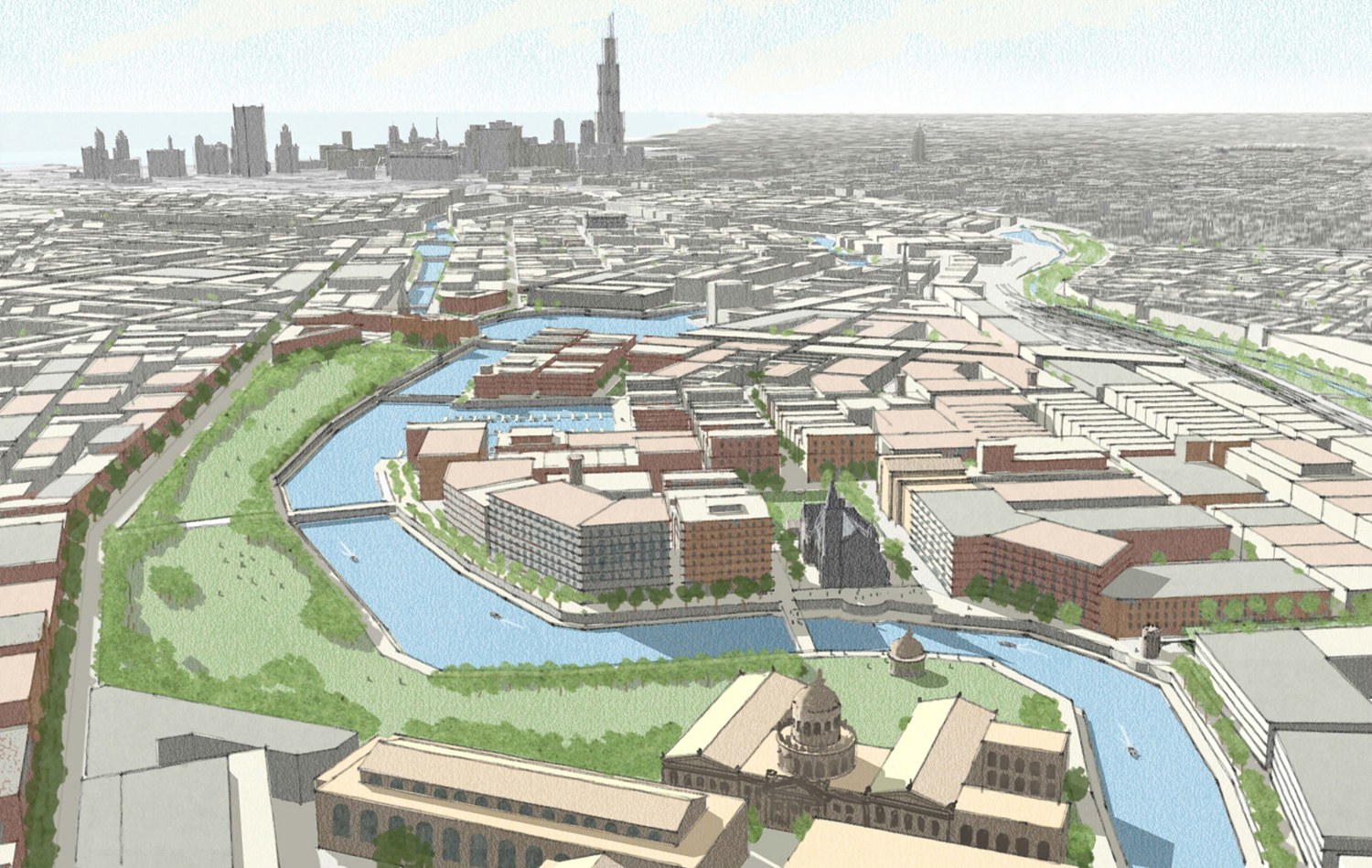
In an ambitious proposal for a two-square mile area running more than three miles along the North Branch of the Chicago River between Clybourn Avenue on the east to Elston Avenue on the west, and Belmont Avenue to the north and Chicago Avenue to the south, Michael Mabaquiao proposes a series of interventions that create several mixed use neighborhoods organized by the irregular grids that follow Chicago’s natural (river) topography, within the larger artifact of Chicago’s Cartesian grid.
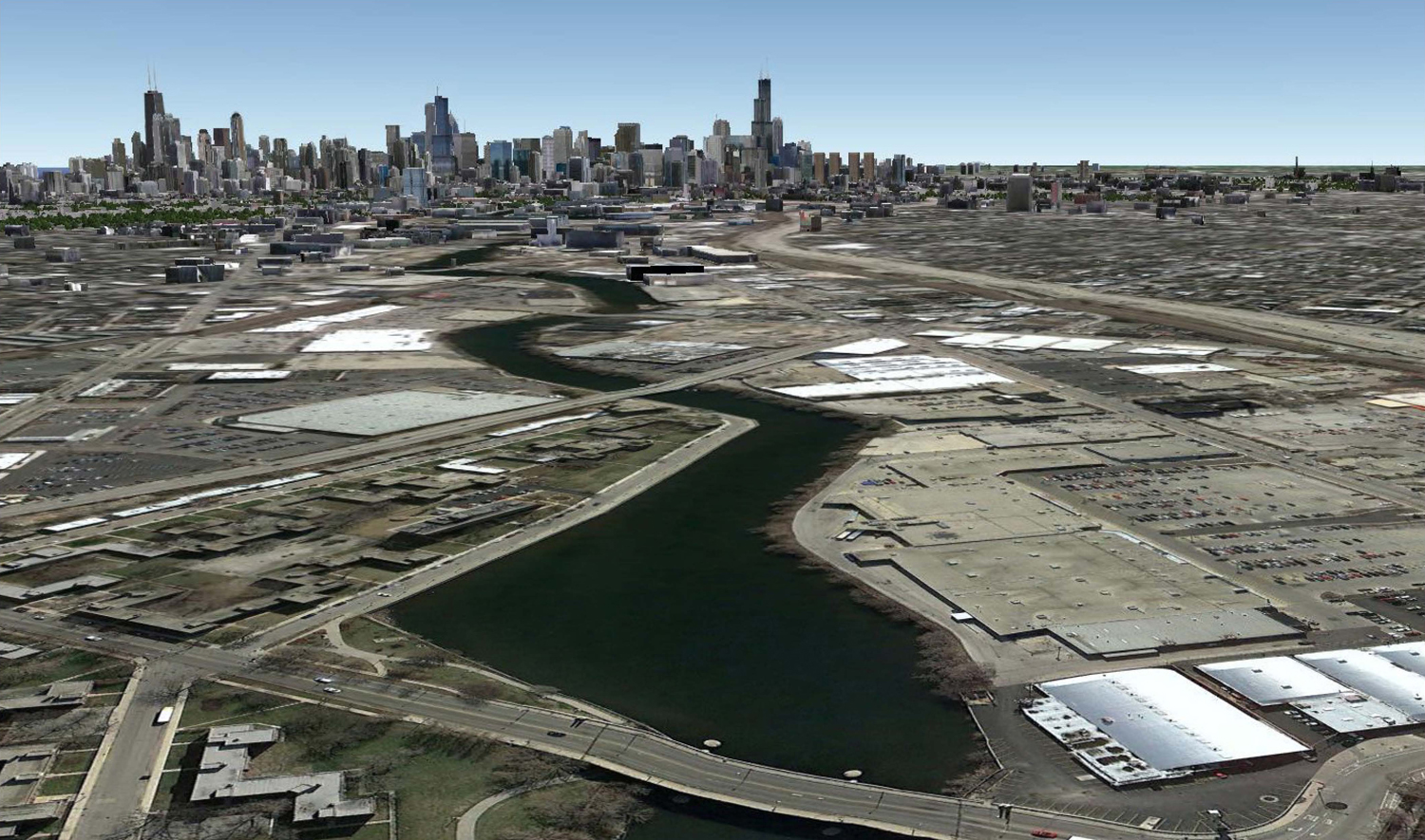
Existing conditions looking southeast
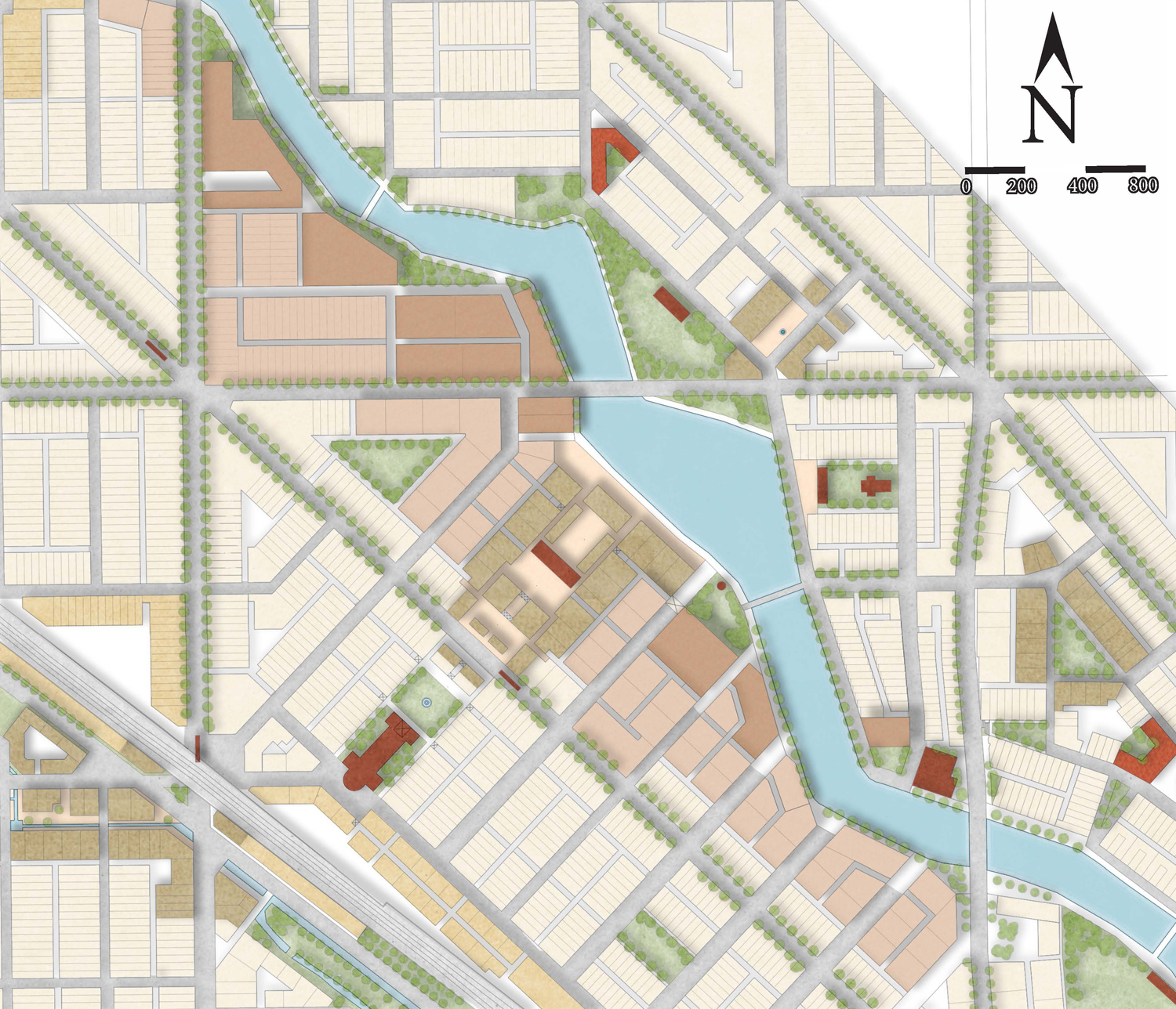
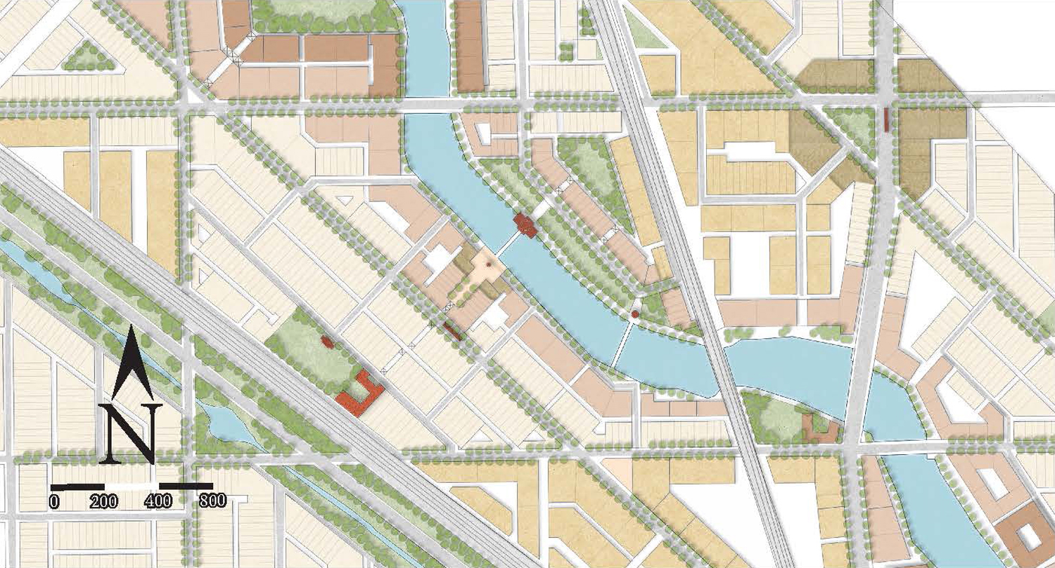
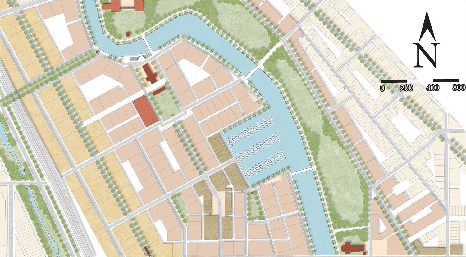
Proposed Interventions
View from Western between Belmont and Diversey
Existing conditions looking southeast
Proposed Interventions
View from north of Fullerton, east of Damen
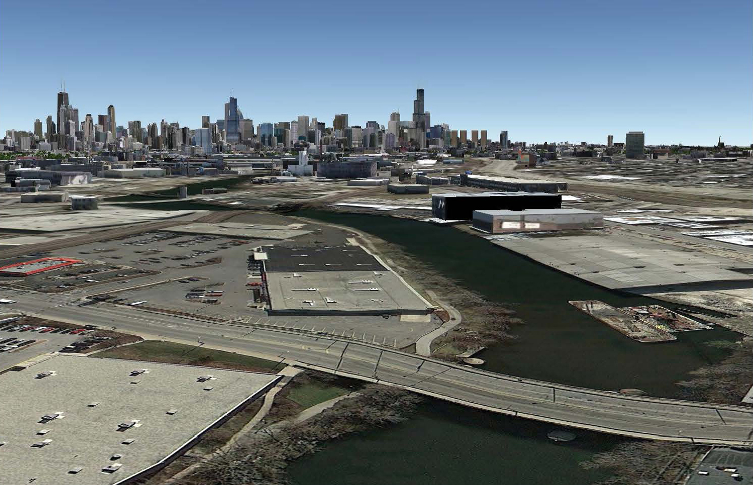
Existing conditions looking southeast
Proposed Interventions
View from Armitage & Southport