
Several studies have been undertaken for different areas of Chicago’s Greater Loop, in both the graduate urban design studio and as a graduate thesis project.
Kalinda (Brown) Gathinji
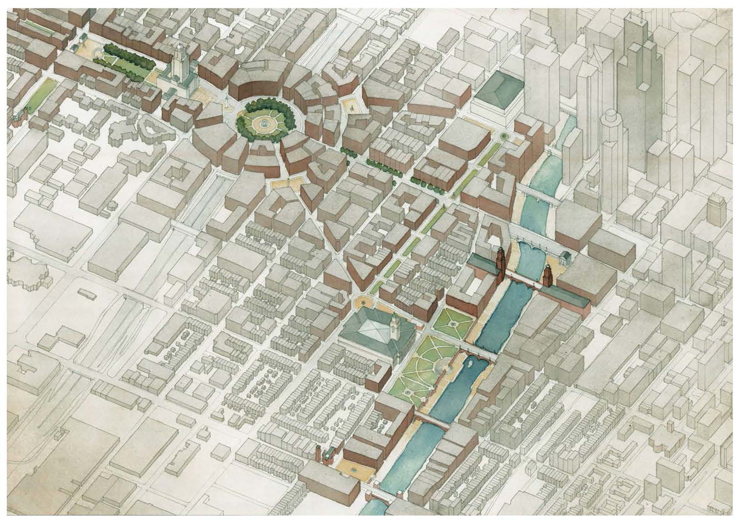
As part of a larger 2009 graduate thesis project focusing upon differences between conceptual and perceptual urban space, Kalinda Brown Gathinji proposed to bury the Chicago Circle Interchange and re-establish the Plan of Chicago’s Congress Street Grand Axis, terminated by a new City Hall fronting a new plaza at Congress and Halsted. A proposed circular public square atop the existing freeway interchange radiates a variety of streets leading to plazas and public buildings at a more intimate neighborhood scale within her larger context of baroque-scale formal interventions.
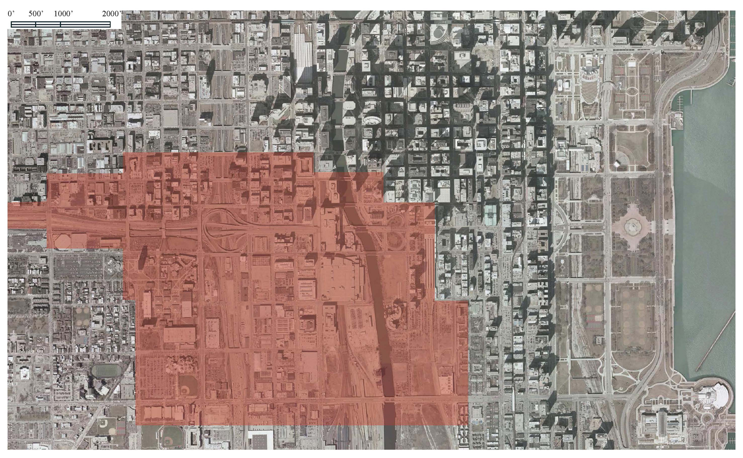
Chicago Circle Existing Conditions
Aerial view looking northwest
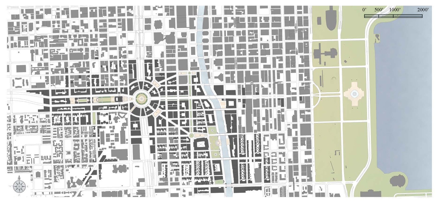
Chicago Circle Proposed Figure-Ground
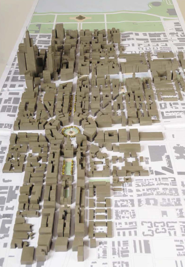
View of model looking east
Daniel Acevedo
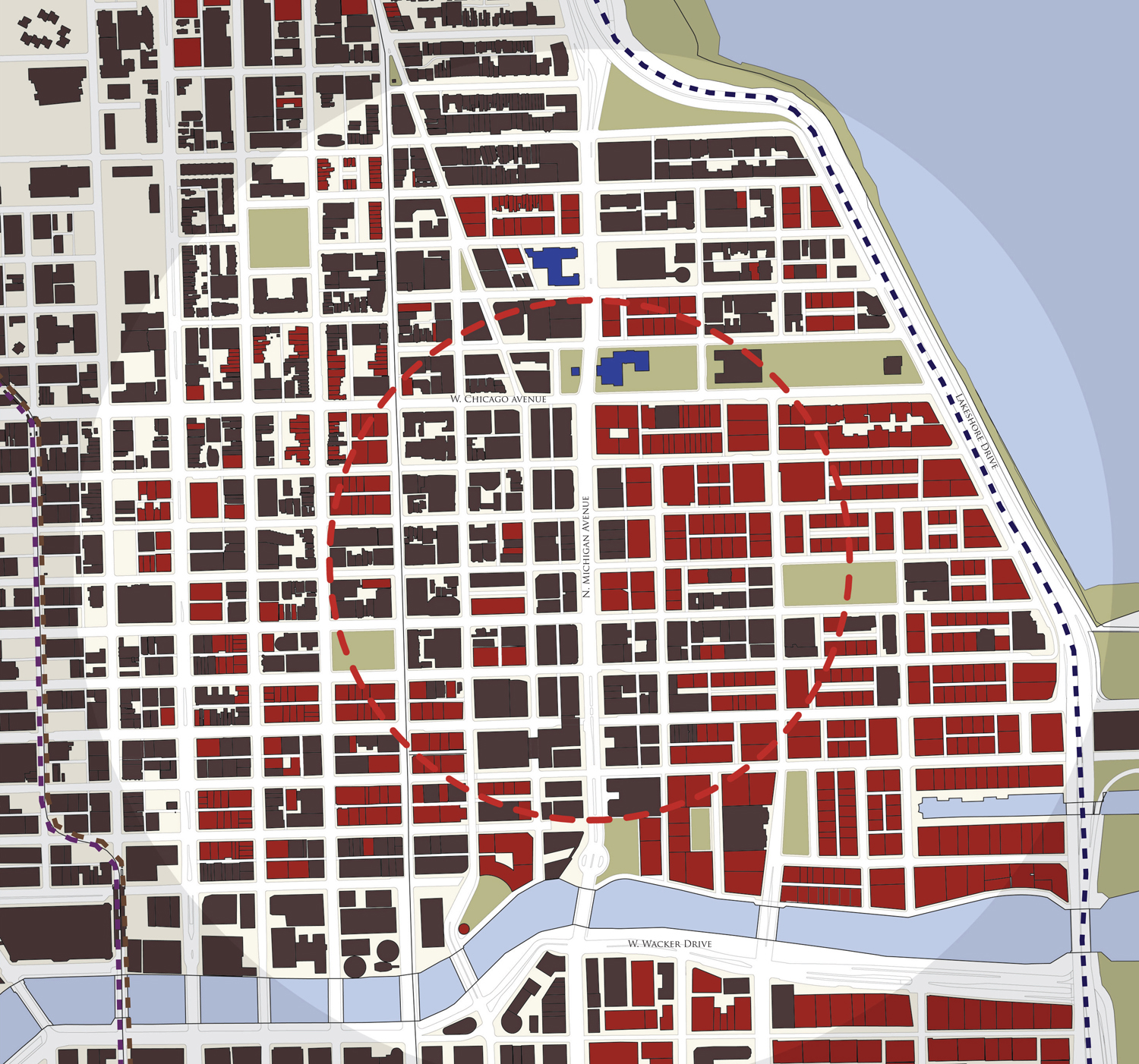
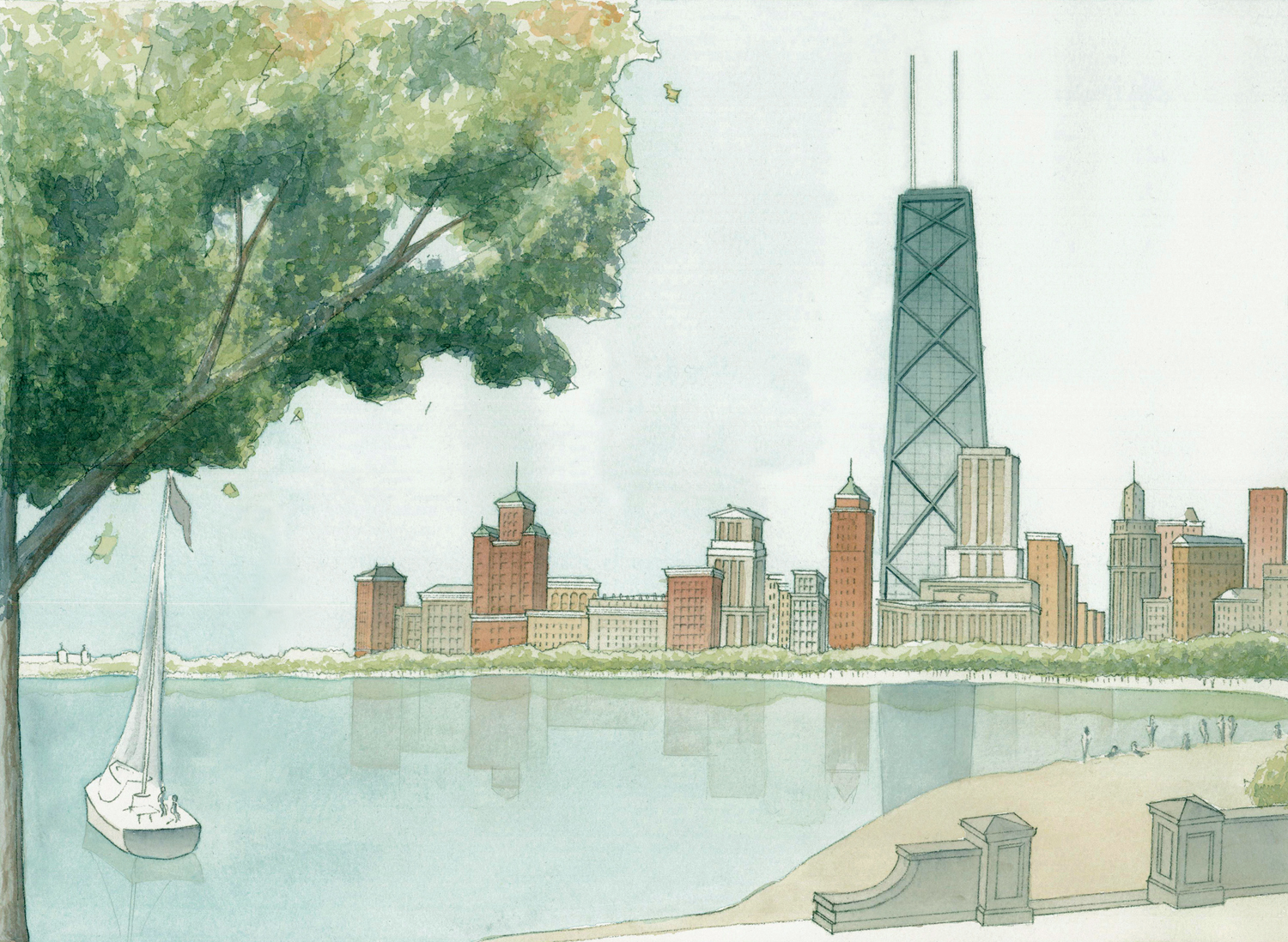
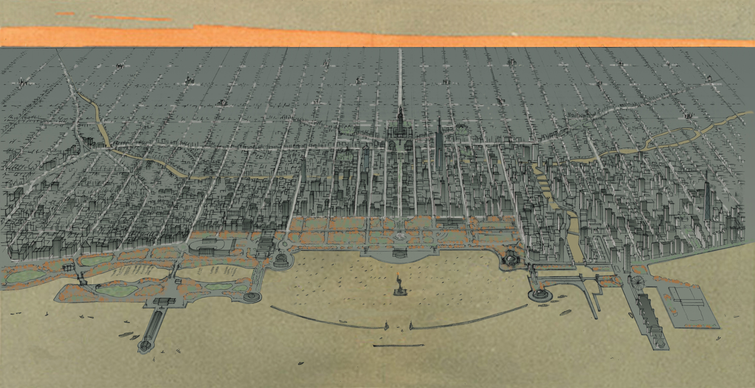
Presuming that a) only the best-built and most loved of Chicago’s tall buildings will endure for the next hundred years; and b) by the beginning of the next century economic and environmental factors will have conspired to make traditional construction materials and methods normative and modern materials and methods exceptional, Daniel Acevedo envisions a north and south Loop of historic and modernist landmarks punctuating a background building environment of six-story Parisian-type buildings similar to those envisioned by Daniel Burnham in 1909; as well as Chicago itself as a polycentric city in which taller buildings are located in neighborhood centers throughout.
Loop & Grant Park Existing Figure-Ground
Loop & Grant Park Proposed Figure-Ground
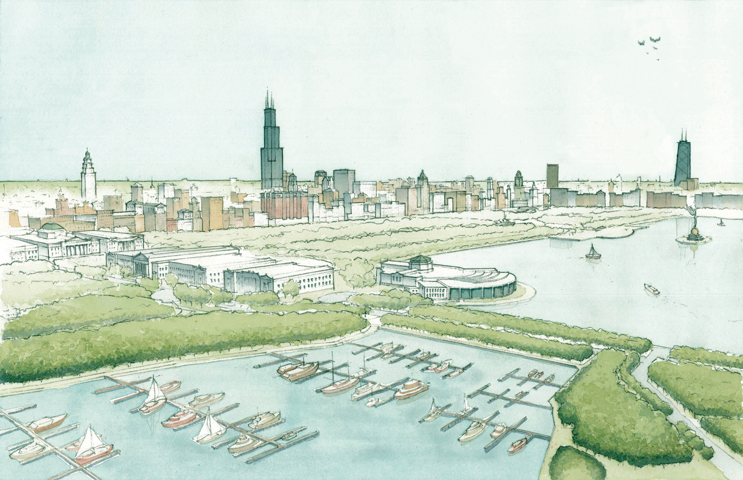
Aerial view of Loop & Grant Park looking northwest
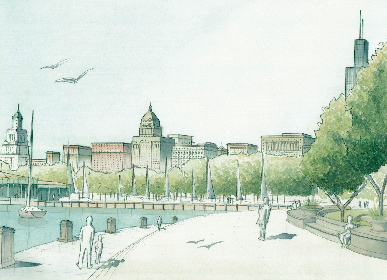
Perspective view of Grant Park from lakefront looking southwest
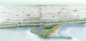
Schematic aerial view of Chicago neighborhood centers from Montrose Harbor looking west
Arti (Waghray) Harchekar
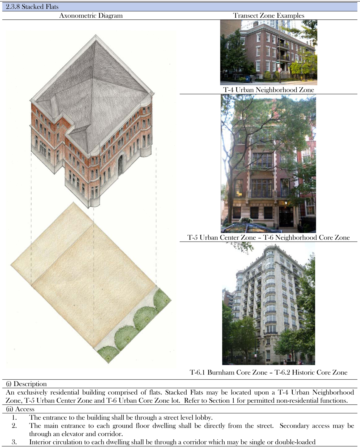
Operating with similar assumptions, Arti Waghray Harchekar focused upon the Streeterville neighborhood just north of the Chicago River; and in addition to her proposed master plan began to develop draft pages for a Streeterville neighborhood code of a type similar to what every city and metropolitan Chicago community would presumably develop for their own local needs.
Streeterville Existing Figure-Ground
Streeterville Proposed Figure-Ground
Sample draft Streeterville code page
Streeterville perspective looking south
Bryce Buckley
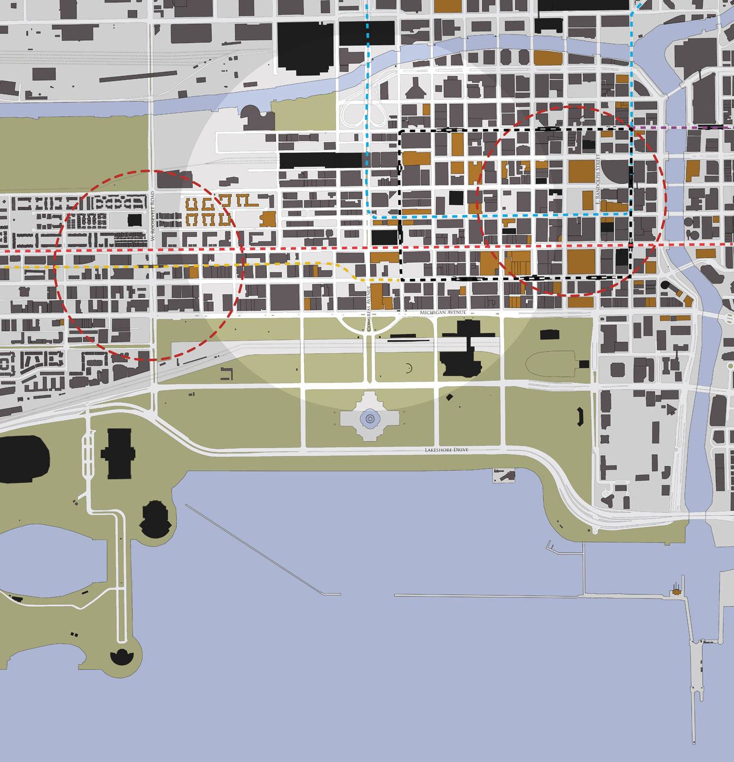
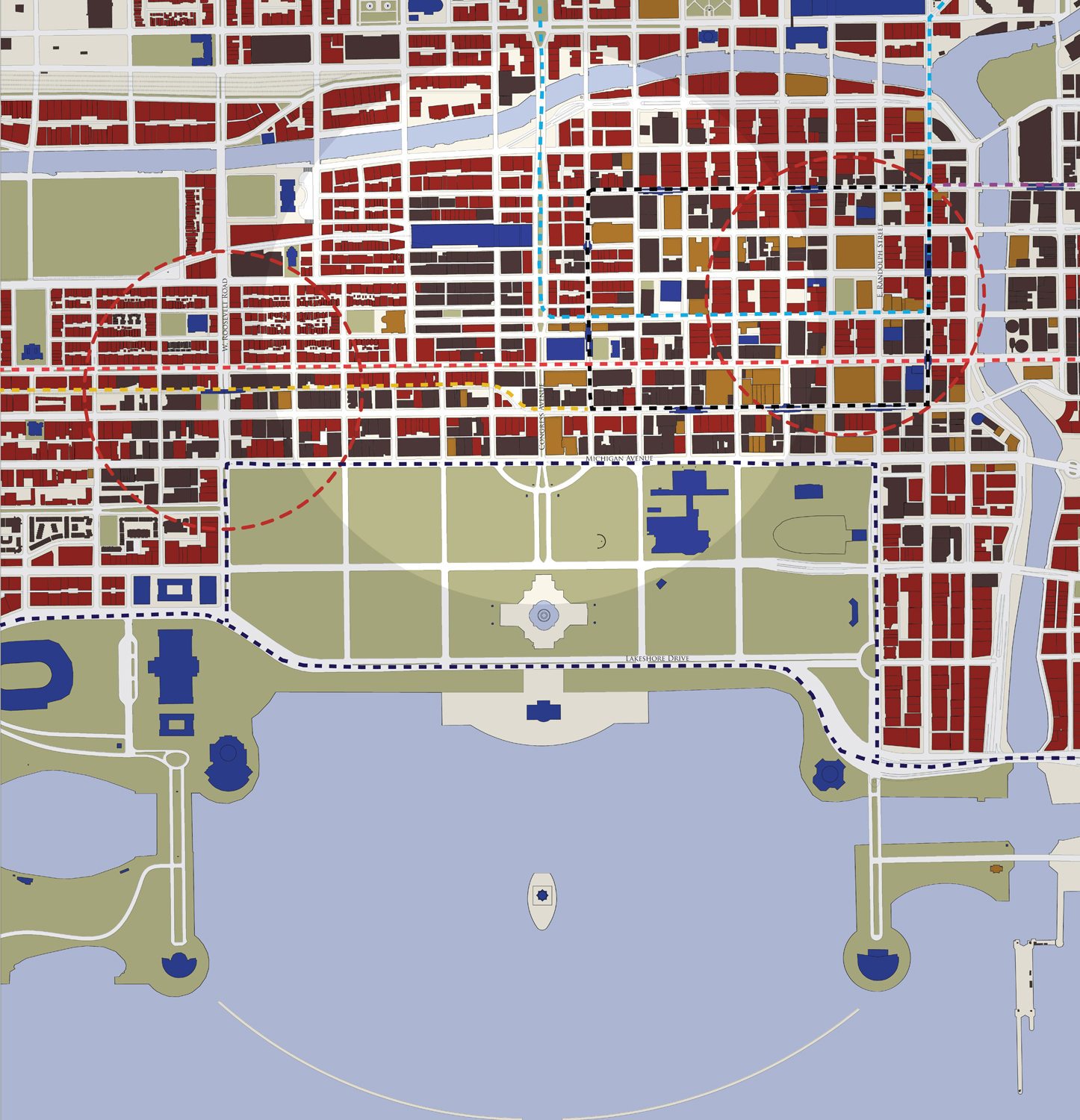
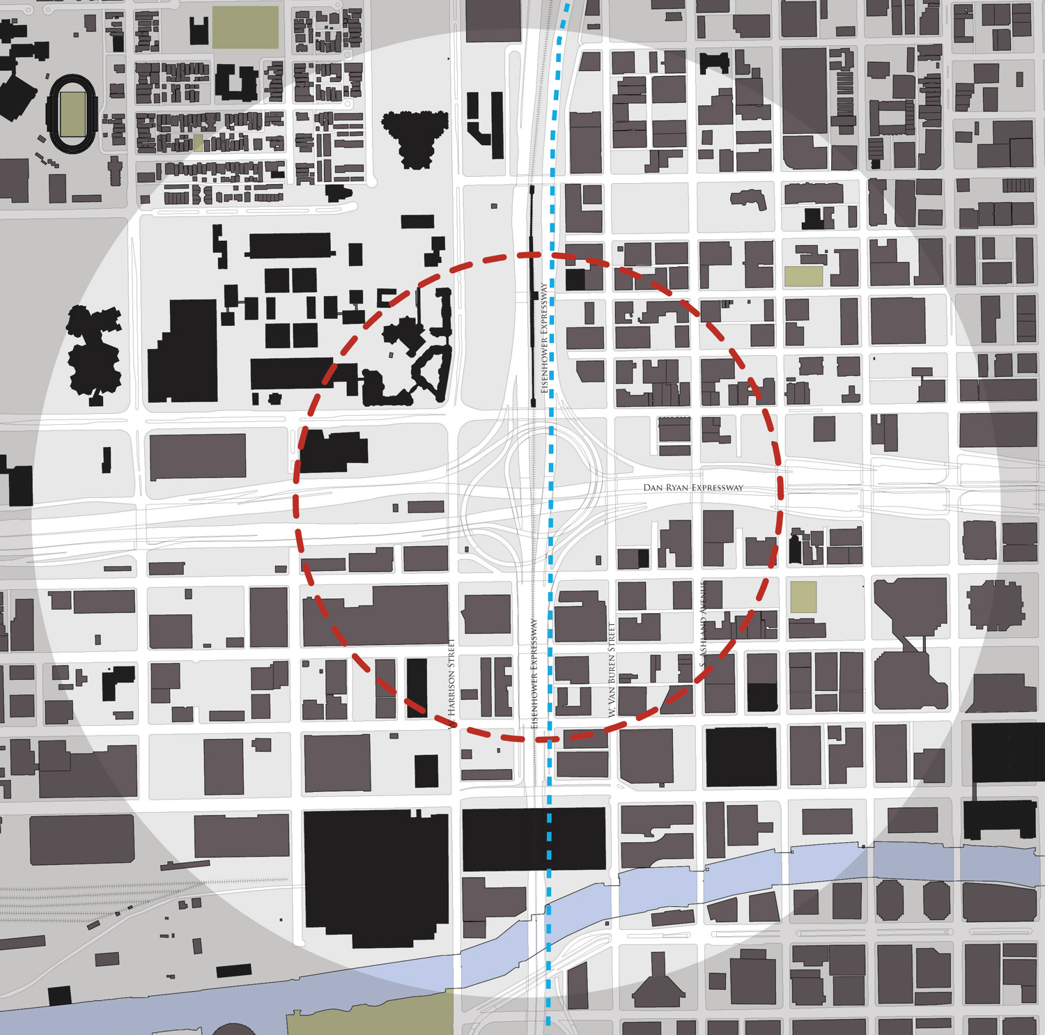
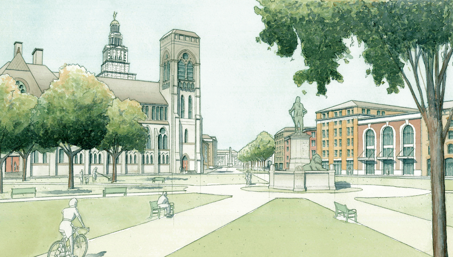
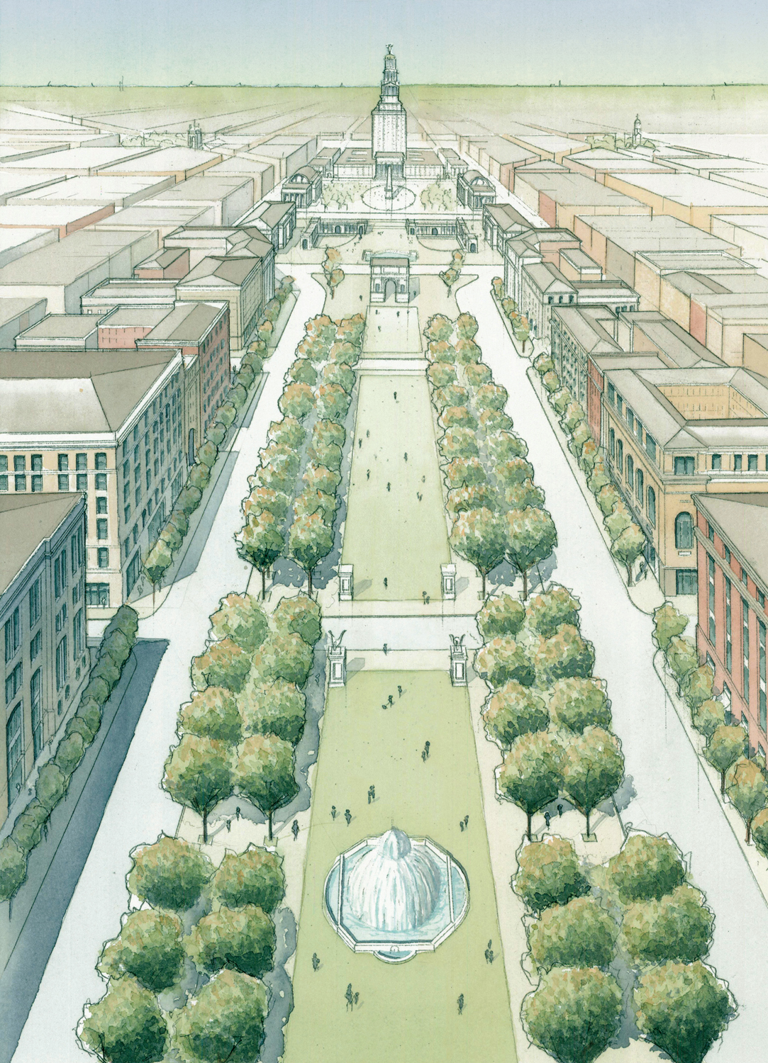
In an especially ambitious undertaking, Bryce Buckley presumed to reclaim all of the interstate rights-of-way in Chicago’s historic center and recreate them as urban thoroughfares, as part of a larger proposal to re-urbanize the entire area around Halsted and Congress Streets, re-establish Burnham’s Grand Civic Axis, and establish a new high-rise City Hall at the center of a larger neighborhood divided into quadrants, not unlike William Penn’s plan for Philadelphia. (N.b.: City Hall elevation study by Diana Reising Dempsey.)
 & proposed (R).jpg)
Historic Center Plans existing (L) & proposed (R)
 & proposed ®.jpg)
Historic Center Parks existing (L) & proposed ®
Chicago Circle Existing Figure-Ground
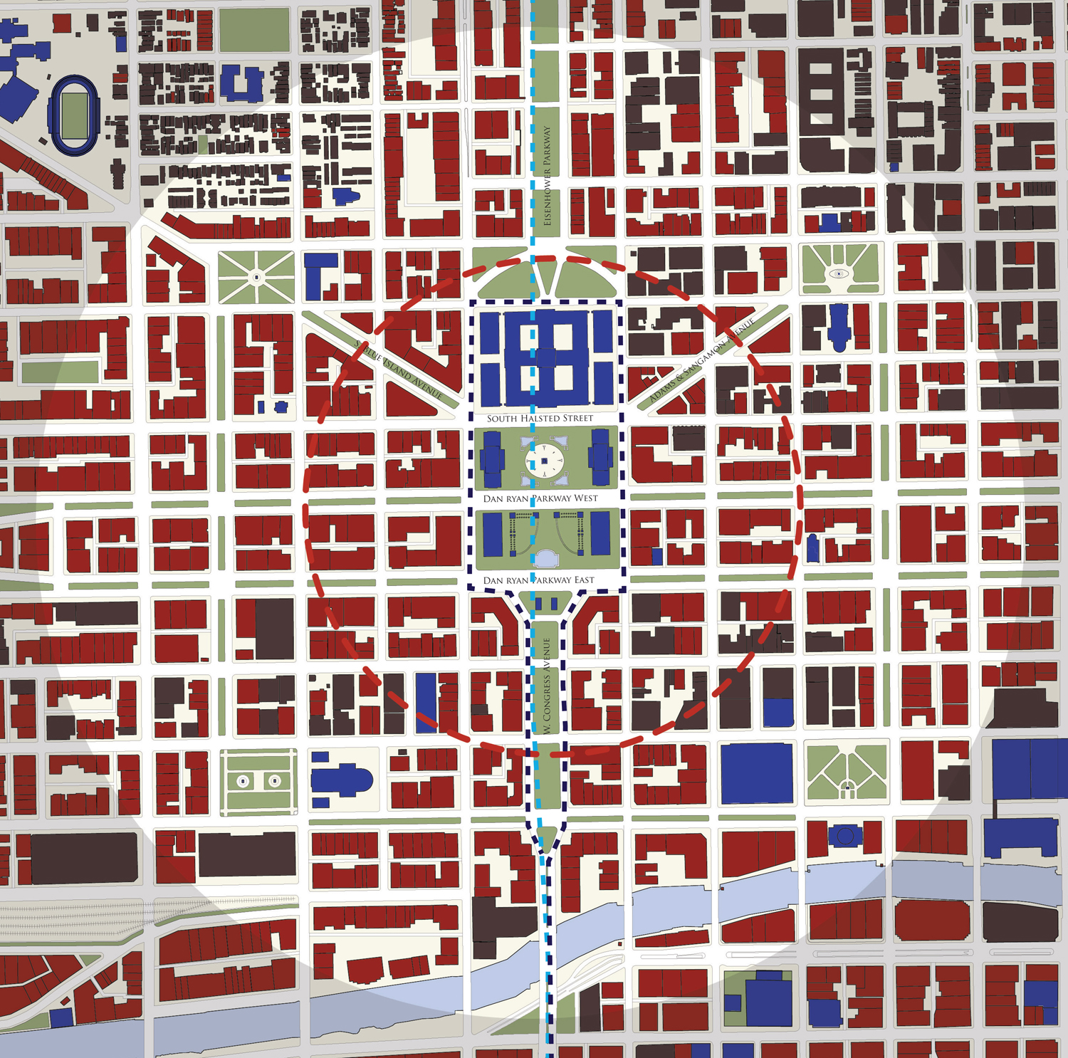
Chicago Circle Proposed Figure-Ground
Proposed neighborhood square looking northeast
Proposed Congress Parkway looking west
Proposed Grand Civic Axis looking west
.jpg)
City Hall east elevation study (by Diana Reising Dempsey)